About Us
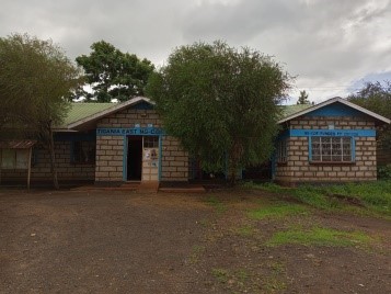
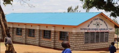
Tigania East Constituency
Tigania east constituency is located in meru county in the former eastern province it lies beneath the nyambene ranges spreads all the way to isiolo tigania east constituency was established in 1997 from the former larger tigania constituency with the demarcation of constituencies by the electoral commission of Kenya (ECK) IN 1997.
Tigania east constituency had a large population of 157246 covering 646.30 square kilometers representing a population density of 235.84 persons per square kilometer.
Access NG-CDF Information on your Mobile


County Assembly Wards in Tigania East Constituency :
Thangatha Ward
- County Assembly Ward No.:
- County Assembly Ward Name: Thangatha
- County Assembly Ward Population (Approx.):
- County Assembly Ward Area In Sq. Km (Approx.):
- County Assembly Ward Description: comprises part of
Mikinduri Ward
- County Assembly Ward No.:
- County Assembly Ward Name: Mikinduri
- County Assembly Ward Population (Approx.):
- County Assembly Ward Area In Sq. Km (Approx.):
- County Assembly Ward Description: comprises part of
Kiguchwa Ward
- County Assembly Ward No.:
- County Assembly Ward Name: Kiguchwa
- County Assembly Ward Population (Approx.):
- County Assembly Ward Area In Sq. Km (Approx.):
- County Assembly Ward Description: comprises part of
Karama Ward
- County Assembly Ward No.:
- County Assembly Ward Name: Karama
- County Assembly Ward Population (Approx.):
- County Assembly Ward Area In Sq. Km (Approx.):
- County Assembly Ward Description: comprises part of
Muthara Ward
- County Assembly Ward No.:
- County Assembly Ward Name: Muthara
- County Assembly Ward Population (Approx.):
- County Assembly Ward Area In Sq. Km (Approx.):
- County Assembly Ward Description: comprises part of